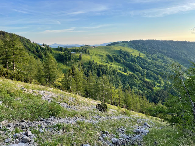
Various trails lead to the highest mountain in Lower Austria, the Schneeberg (2076 m / 6811 ft). The mountain, which can be seen from afar, is an extremely popular destination, especially on weekends.
Not least because of its proximity to the urban centers of Eastern Austria, the mountain is very well developed for tourism. The Schneebergbahn, a rack railway, has been taking tourists from Puchberg am Schneeberg to an altitude of 1796 m (5892 ft) since the 19th century. For those who prefer to climb the mountain on foot, there are numerous hiking trails that lead up this unique mountain from different directions.
This time the ascent is to be made via the somewhat less well-known, but all the more beautiful, Nandlgrat. In order to be on the mountain before the masses of day tourists, it makes sense to arrive at the starting point of the tour, the valley station of the chairlift in Losenheim, before sunrise. It is not possible to take the chairlift to the Fadensattel at this time of day. This means that the 330 m (1083 ft) difference in altitude to the first stage destination must be mastered on foot. A lovely 30-40 minute hike that is great for warming up.
The Edelweisshütte (1235 m / 4052 ft) is in the immediate vicinity and it is already clear that these huts will be visited on the descent.A red-marked path leads from the Edelweißhütte along the north-east flank of the Schneeberg, sometimes a little uphill, then a little downhill again, to the Rieshütte (1362 m / 1188 ft).
In the immediate vicinity of the hut you can already have impressive views of the "Breite Ries", a mighty scree gully. Behind the Rieshütte, which is not serviced, is the entrance to the Nandlgrat. The note "Experts only" should actually be taken seriously. In the beginning, the path is still tame, although you soon have to use your hands to climb meter by meter. It is a pleasure to climb the ridge along the mountain and always enjoy wonderful insights into the "Breite Ries" and views of the striking rock faces of the Schneeberg.
It's about climbing at the lowest level of difficulty. Nevertheless, absolute surefootedness is required in many places. In addition, the scree is a real challenge in some places. A high degree of concentration is required to avoid slipping and ultimately falling. For this reason I would definitely not recommend the descent from Schneeberg via the Nandlgrat!
The key points of the trail are roughly in the middle and just before the exit to the high plateau of the Schneeberg. But once you've reached that, great views of the Eastern Alps reveal themselves.
You quickly reach the unmissable trail that leads to the left to the Fischerhütte and the Klosterwappen (2076 m / 6811 ft), the highest points of the Schneeberg, and to the right to the Fadensteig. This time we do without the last few meters of altitude to the summit and follow the Fadensteig back to the Edelweisshütte (1235 m / 4052 ft) on the Fadensattel, from where, after a short stop, we return to the Losenheim valley station.
Tour Facts (Tracked with Bergfex Tours):
Distance: 11,5 km (~ 7.15 mi)
Duration: 05:15 h (without breaks)
Ascent altitude: 1168 m (3832 ft)
Useful links:


Comments
Post a Comment