The sometimes quite rugged rock faces of the Haller Mauern rise from the Großer Pyhrgas (2244 m / 7362 ft) in the west to the much lower Maiereck (1764 m / 5787 ft) in the east. A large part of the ridge of this small mountain range in the Ennstal Alps marks the border between the federal states of Styria and Upper Austria. The Grabnerstein (1848 m / 6063 ft) lies entirely on the Styrian side. Due to its many flower meadows, it is not without reason referred to as "the most beautiful flower mountain in Styria".
The starting point of the tour is the parking space on the Buchauer Sattel between Weng and Sankt Gallen. From here, hiking trail 636 first leads across a meadow to the edge of the forest. There it ends in a forest path that meanders up the mountain. The well-marked path is now a bit steeper and in some places shortens the path over the forest road with more direct detours through the forest. After 75 minutes, at around 1300 m (4265 ft) above sea level, the path becomes a little less steep and leads in a wide arc to the first stage destination, the Grabneralm.
The Grabneralm is not called the "Balcony to the Gesäuse" for nothing. The closer you get to the cultivated alpine pasture, the more grandiose the views of the mountains of the Gesäuse become. The history of the house on the Grabneralm goes back to the beginning of the 20th century. Since then, the building, which has been rebuilt several times, has been used as a training center for alpine farming, as a convalescent home for German airmen wounded in World War II, and after the war as a winter sports center. Today, the house is run as an alpine hut and is a popular resting place for hikers exploring the Haller Mauern.The path, which is always clearly visible and in places quite rocky, leads steadily upwards in a large arc, avoiding the steep rock faces. The path is classified on various maps as T4 (according to the SAC scale), which is probably a bit exaggerated. Sure-footedness is of course required, but you will look in vain for real climbing spots on this path.
Weather conditions permitting, you will be treated to a wonderful view of the Gesäuse mountains. Between a few mountain pine fields, there are actually many meadows on this path, which are covered with a wide variety of flowers. Depending on the season, the colorful flowers can transform the meadows into a colorful carpet. Even on cloudy days, the diversity is striking and makes it clear why the Grabnerstein is also known as the most beautiful flower mountain in Styria.
A simple summit cross marks the highest point of the Grabnerstein (1848 m / 6063 ft). In good weather you can enjoy a wonderful view. To the south the peaks of the Gesäuse Mountains rise up and to the west the view glides along the steeply sloping north face towards the Admonter Haus and the ever-increasing peaks of the Haller Mauern.
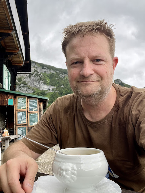
Due to the changeable weather and the rather wet ground, I decided not to descend via the Jungfernsteig to the Admonter Haus and instead opted for the ascent path back to the Grabneralm. The food and drink menu is certainly impressive and so a short rest seemed more than appropriate.
The descent from the Grabneralm takes between 45 and 90 minutes. After just over 4 hours, minus the breaks, I reached the starting point of the tour again. It was worth it despite the adverse weather conditions!
Tour Facts (Tracked with Bergfex Tours):
Distance: 12.9 km (~ 8 mi)
Duration: 04:15 h (without breaks)
Ascent altitude: 959 m (3146 ft)
Useful links:


Comments
Post a Comment